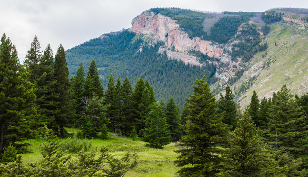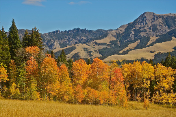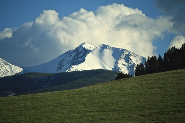
The Gallatin Range is the largest unprotected roadless area in Montana and a key part of the Greater Yellowstone Ecosystem. The Gallatin Range portion of the Custer Gallatin National Forest stretches 50 miles from Yellowstone Park north to Bozeman including the popular Hyalite Canyon area. There are approximately 279,000 acres in the Gallatin Range that we recommend for wilderness designation.
The Forest Service identified some 251,700 aces in its Wilderness Inventory Polygon 28 which includes the Hyalite-Porcupine-Buffalo Horn WSA, but it is not all inventoried as a roadless portion of the full Gallatin Range Roadless area. Other roadless lands in the range include 6065 acres in Polygon 24 Storm Castle, 5193 acres in Polygon 31 Upper Trail Creek, 276 acres in Polygon 62 Crown Butte,609 acres in Polygon 56 Beattie Gulch, and 8199 acres in Polygon 2 Cinnabar Basin.
The Custer Gallatin National Forest appears to use the “purity” argument to disqualify many areas from its recommendations saying there is noise from highway traffic, a municipal watershed, or a few cabins or other structures that do not conform to the Wilderness Act. This argument is used to exclude tens of thousands of acres from its recommendations.
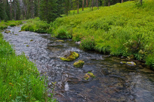
The Gallatin Range higher elevations feature glacially carved cirques and grassy ridges. There are a lot of open grassy valleys and slopes which are exceptional wildlife habitat, particularly the Porcupine-Buffalo Horn Drainage where thousands of elk winter. Three drainages - Mol Heron, Tom Miner, and Rock Creek - that flow from the Gallatin Range are considered essential Yellowstone Cutthroat trout habitat by Montana Fish Wildlife and Parks. The Gallatin Range also supports Grizzly Bear, Wolf, Mountain Goat, Cougar, Wolverine, Bighorn Sheep, Moose, Mule Deer, and potentially wild Bison.
The largest petrified forest in the world is found at the headwaters of Porcupine, Rock, Tom Miner, and Buffalo Horn drainages. Commercial and amateur collectors have ravaged this world-class complex. Wilderness designation would help to halt this tragic damage.
Since 1977 approximately 155,000 acres have been protected as the Hyalite, Porcupine and Buffalo Horn Wilderness Study Area. In total there are about 271,000 acres of potential wilderness, but the Custer Gallatin National Forest has only recommended about 85,000 in two units and proposes that the Buffalo Horn drainage be designated a backcountry area. The Buffalo Horn drainage is the most important wildlife habitat in the entire Gallatin Range - if any area should be wilderness it is this drainage.
Also, many roadless drainages in the Gallatin Range were left out of wilderness recommendations including the upper portions of Cottonwood, Sourdough, Trail Creek and others.
Wilderness vs. Wildlife Management in the Gallatin Forest Plan
In recommendations for the Gallatin Forest Plan, the Gallatin Forest Partnership proposes to substitute “Wildlife Management Areas” for much potential wilderness under the Wilderness Act. The proposal neglects an opportunity to provide Wilderness protection for lower-elevation habitat types that are relatively rare throughout the Wilderness system in the West. The title “Wildlife Management Area” is designed to attract public support. However, such areas will be a meager substitute for Wilderness protection, for most wildlife species.
First, designation as Wilderness can be secured by law; whereas Forest Plan prescriptions for managing a Wildlife Management Area will always be negotiable and subject to local and state political pressures.
Moreover, the Partnership’s recommended “monitor and manage” strategy to “ensure that increasing recreational use will not be detrimental to wildlife” is at least naïve, if not knowingly insincere. Recommendations to monitor recreational activities and wildlife are vague. How they would be stated in the Forest Plan is uncertain.
The Partnership contends that any negative changes in some wildlife species will be quickly detected and definitely linked to some causal human activities that will be promptly rectified. Nothing in Forest Service history suggests this is true.
Serious questions are: Who will monitor? With what reliable funding? What wildlife species will be monitored? What recreational activities will be monitored? With what techniques and precision? How long will monitoring occur in the “baseline period” before human activities are increased? (Note, the baseline will not represent Wilderness conditions.) What will be the intensity and frequency of monitoring? What changes in wildlife will trigger a management response? How will the Forest Service connect wildlife trends to certain recreation activities when many activities and other environmental variables are all changing? Will the Service be able to reduce a private or commercial activity, once the use is established?
Wilderness designation is the reliable path for wildlife preservation.
-Jim Bailey Ph.D. retired Wildlife Biology Professor.


